What Does a Professional Land Surveyor Do?
Whether you’re buying property, planning a new development, building a home, or resolving a boundary dispute, a professional land surveyor plays a vital role in ensuring your project starts on solid ground. While many people associate land surveyors with measuring land, their responsibilities extend far beyond taking measurements. They provide accurate data, establish legal property boundaries, prepare official survey documents, and support a wide range of property and construction projects.
In South Africa, professional land surveyors help property owners, developers, architects, engineers, municipalities, and legal professionals make informed decisions based on precise and legally recognised land information.
At The Land Surveyor, we offer comprehensive land surveying services that help clients protect their investments, meet legal requirements, and complete projects with confidence.
What Is a Professional Land Surveyor?
A professional land surveyor is a qualified and registered expert who measures, maps, and analyses land. Their work ensures that property boundaries, land dimensions, and physical features are accurately recorded according to South African surveying standards and legal requirements.
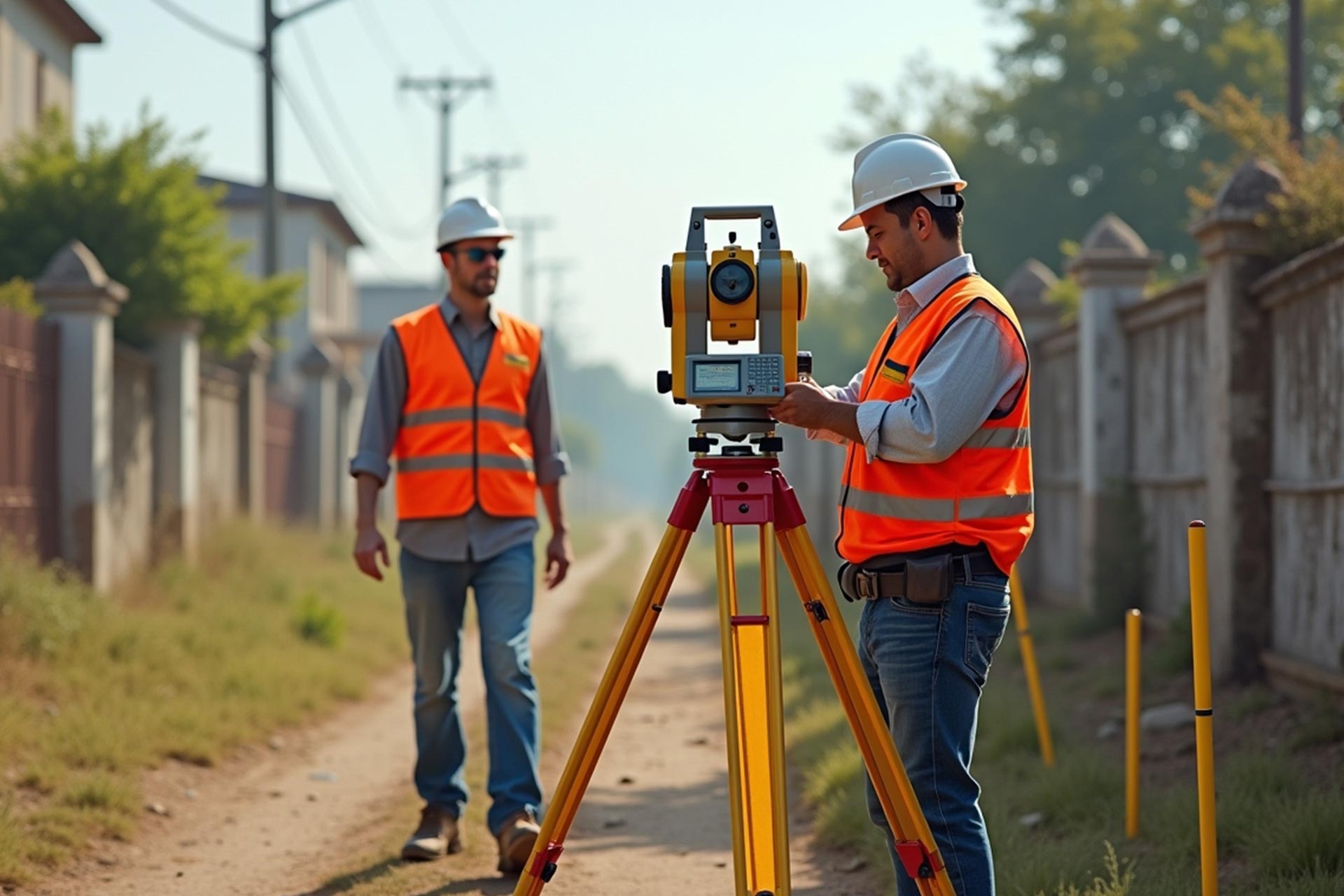
Using advanced surveying equipment, GPS technology, total stations, drones, and specialised software, land surveyors collect precise data that is used for property registration, development planning, infrastructure projects, and legal documentation.
Their work forms the foundation for safe, compliant, and successful property transactions and developments.
Learn more about our professional surveying services by visiting:
Key Responsibilities of a Professional Land Surveyor
Land surveyors perform a wide range of services depending on the needs of the property owner or development project.
1. Conducting Boundary Surveys
One of the most common responsibilities of a professional land surveyor is carrying out boundary surveys.
A boundary survey accurately identifies the legal boundaries of a property and confirms the location of property beacons.
Boundary surveys are essential when:
- Buying or selling property
- Building boundary walls
- Resolving neighbour disputes
- Installing fencing
- Developing land
Accurate boundary information helps prevent legal disputes and protects property owners from costly mistakes.
2. Performing Cadastral Surveys
A cadastral survey establishes the legal dimensions and boundaries of land for official registration purposes.
These surveys are required for:
- Property subdivisions
- Consolidations
- Township establishment
- Servitude registration
- Property ownership transfers
Cadastral surveys produce official survey diagrams that become part of South Africa’s land registration system.
If you’re involved in a property transaction, our guide on Property Ownership Transfer explains how cadastral surveys support legal ownership registration
3. Carrying Out Topographical Surveys
Topographical surveys provide detailed information about the natural and man-made features of a site.
These surveys record:
- Ground levels
- Contours
- Buildings
- Roads
- Trees
- Drainage systems
- Utility infrastructure
Architects and engineers use this information to design buildings and infrastructure that suit the land’s natural characteristics.
Topographical surveys are particularly important before construction begins.
4. Supporting Construction Projects
Professional land surveyors play a critical role throughout construction projects.
They assist with:
- Construction setting out
- Site measurements
- Building positioning
- Infrastructure alignment
- Quality control surveys
By providing accurate measurements throughout construction, surveyors help ensure buildings are constructed according to approved plans.
5. Assisting Property Developers
Developers rely on land surveyors to provide accurate information for planning and approval processes.
Surveyors assist with:
- Site development planning
- Subdivision applications
- Rezoning support
- Infrastructure planning
- Municipal submissions
Accurate surveying helps developers avoid delays and ensures compliance with planning regulations.
6. Locating Property Beacons
Property beacons define the corners of a property’s legal boundaries.
Over time, beacons may become buried, damaged, or removed.
Professional land surveyors use official survey records and specialised equipment to locate or replace missing beacons, helping property owners clearly identify their land.
7. Preparing Survey Diagrams
Survey diagrams are official documents prepared by land surveyors that accurately represent a property’s boundaries and dimensions.
These diagrams are used during:
- Property registration
- Land transfers
- Subdivisions
- Consolidations
- Development applications
Survey diagrams become part of the official records maintained by the Surveyor General.
Why Is a Professional Land Surveyor Important?
Land surveyors provide the accurate information that supports nearly every property-related decision.
Without professional surveying, property owners risk:
- Boundary disputes
- Construction errors
- Municipal approval delays
- Incorrect property registrations
- Financial losses
- Legal complications
Professional surveying helps reduce these risks by providing reliable and legally recognised information.
When Should You Hire a Professional Land Surveyor?
You should consider hiring a professional land surveyor when:
- Purchasing land
- Selling property
- Planning construction
- Building a boundary wall
- Applying for subdivision
- Consolidating properties
- Developing commercial land
- Locating missing property beacons
- Resolving property disputes
Engaging a surveyor early in the project helps identify issues before they become expensive problems.
The Benefits of Professional Land Surveying
Investing in professional surveying services offers several advantages:
Accurate Property Information
Surveyors provide precise measurements that support informed decision-making.
Legal Compliance
Professional surveys comply with South African property legislation and surveying standards.
Reduced Project Risk
Accurate data helps avoid construction errors, planning issues, and legal disputes.
Faster Development Approvals
Survey information supports municipal planning applications and regulatory approvals.
Protection of Property Rights
Clearly defined property boundaries reduce ownership disputes and protect long-term investments.
Why Choose The Land Surveyor?
At The Land Surveyor, we provide professional land surveying services tailored to the needs of homeowners, developers, engineers, architects, municipalities, and businesses across South Africa.
Our services include:
- Boundary Surveys
- Cadastral Surveys
- Topographical Surveys
- Beacon Relocation
- Subdivision Surveys
- Consolidation Surveys
- Construction Surveys
- Property Development Support
Our experienced team combines technical expertise with advanced surveying technology to deliver accurate, reliable, and legally compliant results.
For more information about how surveying supports property ownership and registration, read our guide:
Property Transfer in South Africa
Conclusion

A professional land surveyor does far more than measure land. They provide the accurate information that underpins property ownership, construction, development, and legal compliance. From establishing property boundaries and conducting cadastral surveys to supporting large-scale developments and infrastructure projects, their expertise is essential for protecting property investments and ensuring successful outcomes.
Whether you’re purchasing property, planning a development, or resolving a boundary issue, working with a qualified land surveyor gives you the confidence that your project is built on accurate and reliable information.