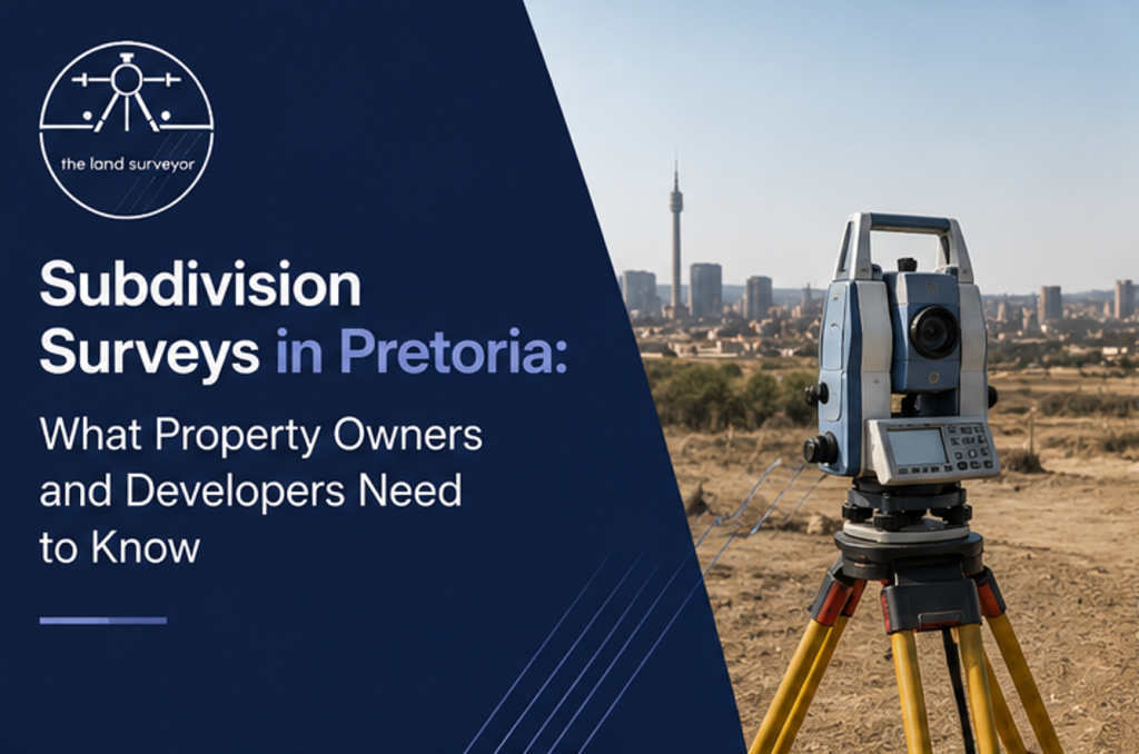
Subdivision Surveys in Pretoria: What Property Owners and Developers Need to Know
Subdividing property can be an excellent way to unlock the value of land, create additional residential sites, or prepare a property for development. However, subdividing land is more than simply dividing a large piece of land into smaller portions. It involves technical surveying, planning, legal requirements, and registration processes that need to be handled correctly.
This is where subdivision surveys in Pretoria become essential.
A professional subdivision survey establishes accurate property boundaries and provides the technical information required to support the subdivision process. Whether you are a homeowner looking to divide a large residential property or a developer planning a larger project, working with an experienced land surveyor can help you avoid costly mistakes and delays.
What Is a Property Subdivision?
Property subdivision is the process of dividing one registered property into two or more separate portions. Once the subdivision has been approved and registered, the newly created portions can generally have their own legal descriptions and may be dealt with separately.
Property subdivision can be considered for various reasons, including:
- Creating additional residential stands
- Preparing land for development
- Selling part of a property
- Maximising the value of unused land
- Creating separate ownership portions
- Supporting residential or commercial developments
However, whether a property can be subdivided depends on factors such as zoning, applicable municipal requirements, access, service availability, and the characteristics of the property.
Why Is a Subdivision Survey Important?
A subdivision survey provides the accurate measurements and boundary information required to establish the proposed new portions.
Without professional surveying, it can be difficult to determine exactly where new boundaries should be created or whether the proposed subdivision is technically practical.
A professional land surveyor can help establish:
- Existing property boundaries
- Proposed new boundaries
- Property dimensions
- Corner positions
- Boundary beacons
- Survey information required for registration
This makes surveying an important part of the subdivision process.
1. Establishing Existing Property Boundaries
Before creating new portions, the existing property boundaries need to be accurately established.
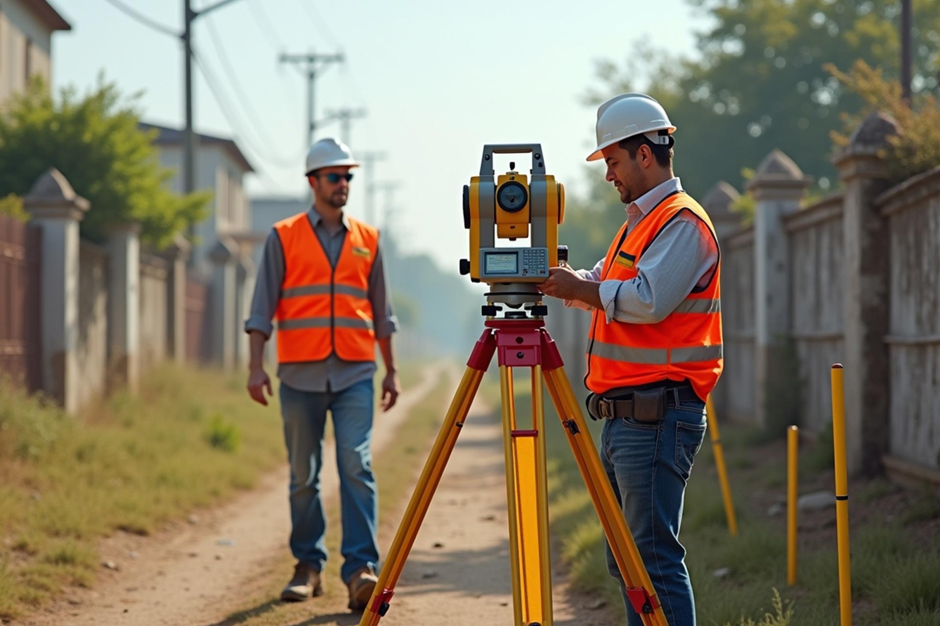
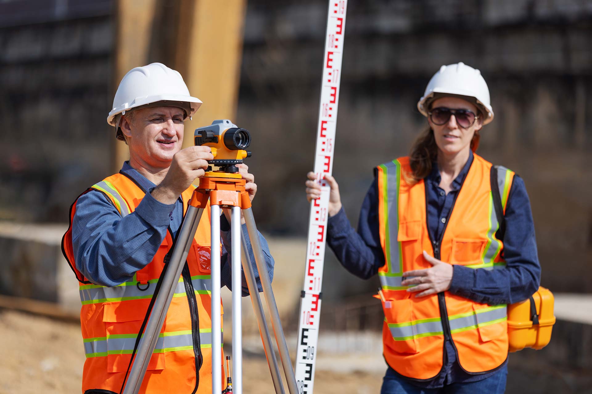
A land surveyor uses official cadastral records, survey diagrams, and appropriate surveying equipment to determine the legal extent of the property.
This is especially important when existing fences or walls may not accurately represent the legal boundary.
Accurate boundary information provides a reliable starting point for preparing the proposed subdivision.
2. Creating Accurate New Boundaries
Once the existing property has been surveyed, the proposed new boundaries can be determined.
The surveyor considers the approved subdivision design and prepares the necessary survey information showing how the property will be divided.
The new portions need to be clearly defined so that they can be properly recorded and registered.
3. Supporting the Subdivision Application
Property subdivision usually involves an application process that may require input from several professionals.
Depending on the project, developers and property owners may work with:
- Land surveyors
- Town planners
- Conveyancers
- Engineers
- Architects
- Municipal officials
A land surveyor provides the technical surveying information required as part of the subdivision process.
For larger or more complex developments, coordinating these professionals from the beginning can help improve project efficiency.
4. Preparing Survey Diagrams
Survey diagrams are an important part of the legal land registration process.
A professional land surveyor prepares accurate survey documentation showing the new portions, boundaries, dimensions, and relevant survey information.
Once the required approvals have been obtained, the relevant documentation can be submitted through the appropriate registration process.
Accurate survey diagrams help ensure that the newly created properties are clearly defined.
5. Locating and Verifying Property Beacons
Property beacons identify important points along property boundaries.
If existing beacons have been removed, damaged, buried, or cannot be located, a surveyor may need to conduct beacon relocation before proceeding with the subdivision survey.
This helps ensure that the proposed subdivision is based on accurate legal boundary information rather than assumptions based on fences, walls, or other physical features.
What Should Property Owners Consider Before Subdividing?
Before starting a subdivision project, property owners should investigate whether the proposed subdivision is feasible.
Important considerations can include:
Zoning and Land Use
The property’s zoning and applicable land-use regulations can affect whether subdivision is permitted and what requirements apply.
Minimum Erf or Portion Sizes
Local planning requirements may impose minimum sizes or other conditions for newly created portions.
Access
Each new portion may need suitable access to a public road or approved access arrangement.
Municipal Services
Water, electricity, sewerage, stormwater, and other services may need to be considered when planning a subdivision.
Existing Servitudes
Existing servitudes and restrictions registered against the property may affect how the land can be divided or developed.
Property Boundaries
Accurate cadastral information is essential before finalising the proposed subdivision.
Professional advice should be obtained early so potential obstacles can be identified before significant money is spent on the project.
Subdivision Surveys and Property Development
Subdivision is often the first step in a larger property development project. Developers may divide larger properties into individual portions before constructing homes, commercial buildings, or other facilities.
In these situations, a subdivision survey can work alongside other surveying services, including:
- Cadastral surveys
- Topographical surveys
- Boundary surveys
- Construction setting out
- Beacon relocation
A topographical survey, for example, can provide valuable information about elevations, slopes, drainage, buildings, roads, and other site features.
This information can help architects and engineers design development proposals that suit the physical characteristics of the land.
How Long Does a Subdivision Survey Take?
The timeframe for a subdivision survey can vary depending on the size and complexity of the property, the availability of existing survey records, the proposed subdivision, and the requirements of the relevant authorities.
The surveying work itself is only one part of the overall subdivision process. Planning approvals, municipal requirements, survey documentation, and land registration can all influence the final timeframe.
For this reason, property owners should avoid assuming that a subdivision can be completed within a fixed number of days or weeks.
An experienced professional can assess the project and explain the likely steps involved.
Why Work With a Professional Land Surveyor?
Subdivision involves technical information that needs to be accurate from the beginning.
A professional land surveyor can help ensure that:
- Existing boundaries are correctly established
- Proposed boundaries are accurately surveyed
- Survey information is professionally prepared
- Missing beacons are properly investigated
- Survey documentation supports the registration process
- Development plans are based on reliable land information
Choosing the right surveying professional can reduce the risk of costly errors and unnecessary delays.
For more information about professional surveying services, visit:
https://www.thelandsurveyor.co.za/
You can also learn more about property ownership and registration through:
https://www.thelandsurveyor.co.za/property-ownership-transfer/
When Should You Hire a Surveyor?
Ideally, a land surveyor should be involved as early as possible when considering a subdivision.
Early professional advice can help identify potential surveying challenges before you commit to detailed plans or applications.
Consider speaking to a surveyor if you are:
- Planning to divide your residential property
- Purchasing land for subdivision
- Developing vacant land
- Preparing a property for sale
- Planning a residential estate
- Considering consolidation and subdivision
- Unsure about your property’s legal boundaries
Early planning can make the overall process more organised and reduce unexpected complications.
Conclusion

Subdivision surveys in Pretoria are an essential part of successfully dividing property for future ownership or development. Accurate surveying establishes existing boundaries, supports the creation of new portions, assists with survey documentation, and provides reliable information for the broader subdivision and registration process.
For property owners and developers, professional surveying should be considered an investment rather than an unnecessary expense. Starting with accurate information can help prevent boundary problems, reduce project risks, and provide a stronger foundation for future development.
Whether you’re considering subdividing a residential property or planning a larger development, an experienced land surveyor can help you understand the surveying requirements and take the correct steps from the beginning. Contact The Land Surveyor now.