What Is a Servitude Survey and When Do You Need One?
Property ownership involves more than simply knowing where your property’s boundaries are located. In some situations, another property owner, municipality, utility provider or organisation may have specific rights over a portion of your land. These rights are commonly known as servitudes.
Servitudes can affect access, infrastructure, construction and future property development. Knowing exactly where a servitude is situated is therefore important before buying property, starting construction or planning a development.
A professional servitude survey accurately determines the position, dimensions and extent of a servitude in relation to the legal boundaries of a property.
Understanding when a servitude survey is required can help property owners, developers and built-environment professionals avoid uncertainty and make better decisions before development begins.
What Is a Servitude?
A servitude is a legal right that allows another person, property or organisation certain rights over a portion of land belonging to someone else.
The property remains under its registered ownership, but the servitude can affect how a particular part of the property may be used.
Common types of servitudes include:
- Right of way servitudes
- Access servitudes
- Municipal service servitudes
- Water pipeline servitudes
- Sewer servitudes
- Electrical servitudes
- Infrastructure servitudes
- Utility servitudes
For example, a municipality may require a servitude across private property for underground services, while a neighbouring property may have a registered right of way providing access across another property.
Because these rights can influence property use and development, accurately establishing their location is important.
What Is a Servitude Survey?
A servitude survey is a cadastral surveying process used to accurately determine the location, dimensions and extent of a servitude over a property.
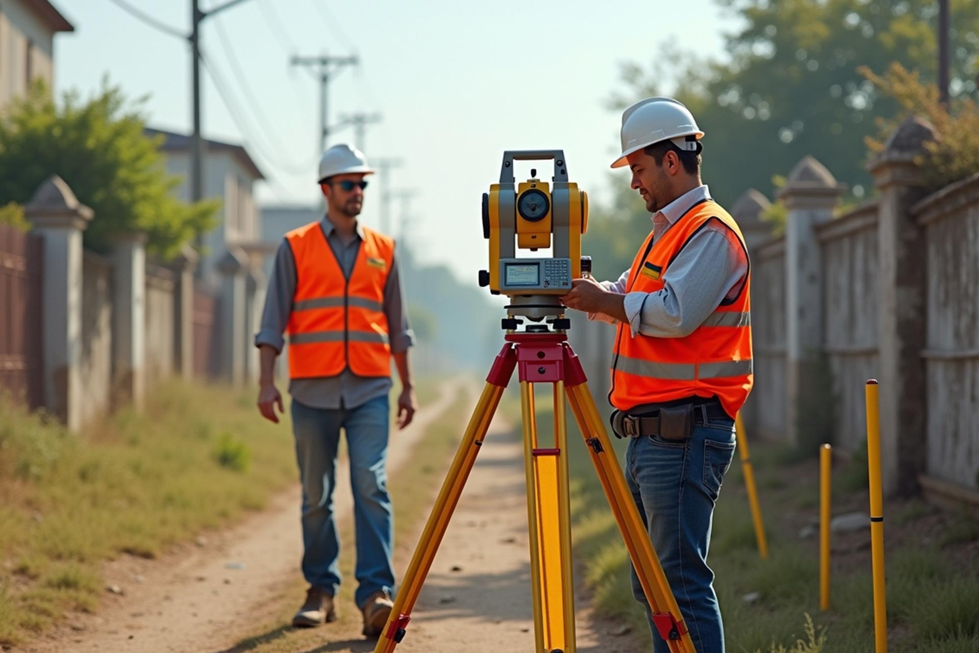
A professional land surveyor uses official cadastral information, survey records and measurements taken on site to establish where the servitude is positioned in relation to the property’s registered boundaries.
Where a new servitude needs to be registered, the surveyor may also prepare a servitude diagram for the required approval and registration processes.
If your project involves property boundaries or registered land rights, understanding the importance of cadastral surveys can also help you determine what surveying information may be required before development begins.
What Is a Servitude Diagram?
A servitude diagram is a formal survey document that illustrates the surveyed position and extent of a servitude over an existing property.
Depending on the circumstances, the diagram may show:
- The location of the servitude
- Its dimensions
- Surveyed reference points
- The affected property
- Relevant property boundaries
- The route or area covered by the servitude
A servitude diagram provides a clear surveyed representation of the affected area rather than relying only on a written description.
This is particularly important when the servitude needs to be formally registered.
When Do You Need a Servitude Survey?
There are several circumstances where a property owner, developer or organisation may need a servitude survey.
Understanding these situations early can prevent complications later in the development or registration process.
Registering a New Servitude
One of the main reasons for conducting a servitude survey in South Africa is to assist with the registration of a new servitude.
A new servitude may be required when another party needs formal rights over a particular section of a property.
For example, a servitude could be created for:
- Vehicle or pedestrian access
- Water infrastructure
- Sewer infrastructure
- Electrical services
- Pipelines
- Municipal services
- Other infrastructure
The affected area needs to be clearly defined so that the rights associated with the servitude can be properly documented.
Creating Access to a Property
Access is another common reason why servitudes are required.
Some properties may not have suitable direct access to a public road. In these circumstances, a right of way servitude may provide legal access across another property.
A servitude survey can establish the exact route, width and position of the access area where formal surveying documentation is required.
Clearly defining the route can also help reduce uncertainty between neighbouring property owners regarding where access rights apply.
Installing Municipal or Utility Infrastructure
Municipalities and utility providers may require access to private property when installing or maintaining infrastructure.
This can include:
- Water pipelines
- Sewer lines
- Electrical infrastructure
- Stormwater systems
- Telecommunications infrastructure
- Access routes
A professional servitude survey helps define the area required for the infrastructure and establishes its relationship to existing property boundaries.
Accurate survey information can therefore be valuable during both infrastructure planning and registration.
Planning a Property Development
Existing servitudes can have an important influence on development planning.
Before designing a house, residential development, commercial building or other structure, developers should understand whether any registered servitudes affect the property.
Depending on the rights and restrictions involved, a servitude may influence where buildings, roads or infrastructure can be positioned.
Identifying these areas before construction can help architects, engineers, town planners and developers prepare plans using reliable property information.
Property owners planning construction can also learn more about why land surveying is important before property development.
Buying Property With an Existing Servitude
Servitudes should also be considered when purchasing property.
An existing servitude may potentially affect:
- Future building plans
- Property access
- Infrastructure placement
- Development potential
- Use of certain areas of the property
Understanding these restrictions before completing a property transaction can help buyers make more informed decisions.
Where the physical position of a servitude is uncertain, a professional land surveyor can assist in establishing its surveyed location.
Why Accurate Servitude Surveys Matter
A servitude deals with legal rights over land, which makes surveying accuracy particularly important.
Incorrectly identifying the location or extent of a servitude can potentially cause difficulties during property development, infrastructure installation or registration.
An accurate servitude survey can provide:
- Clear information about where the servitude is situated.
- Accurate dimensions of the affected area.
- Better information for architects and engineers.
- Improved development planning.
- Greater clarity regarding property rights.
- Survey documentation for registration where required.
Accurate surveying can also reduce the risk of discovering important land restrictions after substantial development planning has already taken place.
Why Use a Professional Land Surveyor?
Servitude surveying involves cadastral information and legal property boundaries. It should therefore be completed by an appropriately registered professional land surveyor where cadastral survey work is required.
A land surveyor can assess relevant survey records, conduct the necessary field measurements and determine how the proposed or existing servitude relates to the property’s registered boundaries.
The surveyor may also prepare the required servitude diagram and supporting survey information where applicable.
Working with an experienced professional land surveyor early in your project can help identify potential surveying requirements before they cause unnecessary delays.
When Should You Contact a Land Surveyor?
Ideally, property owners and developers should seek surveying advice before finalising development or infrastructure plans.
Consider contacting a land surveyor if you are:
- Registering a new servitude
- Establishing a right of way
- Installing infrastructure across private property
- Planning a property development
- Unsure where an existing servitude is located
- Investigating property boundaries
- Preparing land for subdivision or development
- Buying land affected by registered servitudes
Early surveying can provide reliable information that other professionals can use throughout the planning process.
For professional assistance, explore The Land Surveyor’s land surveying services in Pretoria.
Frequently Asked Questions
What is a servitude survey?
A servitude survey accurately determines the position, dimensions and extent of a servitude over a property. It may also provide the surveying information required to prepare a servitude diagram for registration.
What is a servitude diagram?
A servitude diagram is a formal survey document showing the surveyed position and dimensions of a servitude over an existing property. It can form part of the documentation required when formally registering certain servitude rights.
Can a servitude affect where I build?
Yes. Depending on the rights and restrictions associated with the servitude, it may affect where buildings or infrastructure can be positioned. Existing servitudes should therefore be investigated before development plans are finalised.
What is a right of way servitude?
A right of way servitude provides defined access across another property. Where formal registration is required, a land surveyor may survey the route and prepare the necessary servitude diagram.
Should I check for servitudes before buying property?
Yes. Existing servitudes may affect access, development potential, infrastructure and how portions of the property can be used. Reviewing relevant property information before purchasing can help identify these issues early.
Conclusion
A professional Servitude Survey in South Africa property owners and developers can rely on provides important information about the location and extent of rights affecting land.
Whether you need to register a new servitude, establish a right of way, install municipal infrastructure or plan a development, accurately identifying the affected area can help prevent uncertainty and support better planning.
Rather than discovering servitude restrictions after construction or development planning has started, obtaining professional surveying advice early can provide greater clarity about your property.
If you are unsure whether a servitude affects your land or need assistance preparing survey information for a new servitude, The Land Surveyor can provide professional guidance based on your property’s specific requirements.
Need Help With a Servitude Survey?

Get professional surveying assistance to accurately identify, survey and document servitudes affecting your property.